
Tennessee's dry spell meets flash flood risk as cold front arrives
Meteorologists warn that Wednesday's heavy rain may overwhelm drainage systems west of I-65, even as residents await long-term drought relief.
By Chloe Martin ·
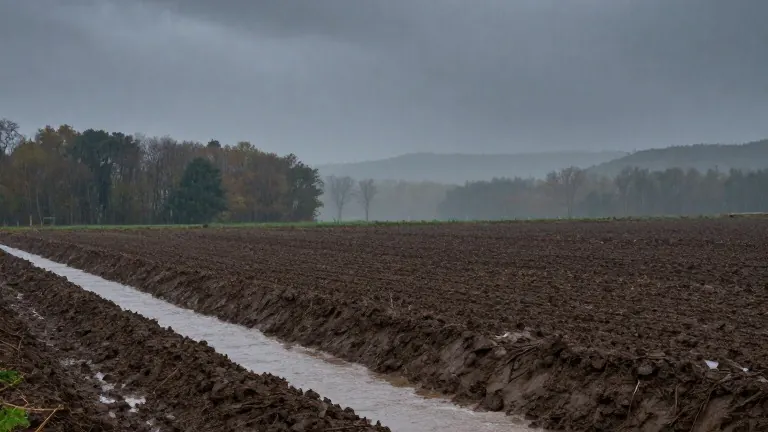
Middle Tennessee faces a conflicting weather threat on Wednesday as a cold front brings heavy rain to a region that has endured weeks of dry conditions. While the precipitation offers hope for drought relief, it simultaneously increases the risk of localized flash flooding. The conflict lies in the speed of the downpour. Heavy rain that falls faster than the ground can absorb it turns into runoff, feeding streams and drainage channels.
The U.S. Geological Survey notes that thunderstorms often produce large amounts of water in a short time. When this happens, the soil cannot keep up. The excess water flows into local waterways, creating immediate flooding hazards. This dynamic means that the very rain needed to help the land can also cause immediate damage to infrastructure and property.
The risk is not evenly distributed across the state. Areas west of Interstate 65 face the highest probability of localized flash flooding on Wednesday. The cold front moving through the region drives this specific risk profile. Residents in these western counties should monitor drainage systems closely as the storm system passes.
Soil conditions play a decisive role in how the land handles the new water. The National Integrated Drought Information System explains that absorption depends on soil type, vegetation, and current moisture levels. Dry soil does not automatically guarantee flooding, but it does not guarantee absorption either. The outcome depends on the intensity of the rainfall versus the capacity of the earth to take it in.
For the drought itself, Wednesday's event is a step in the right direction, but not a cure. The USGS states that steady, soaking rainfall is the most effective way to ease drought conditions. This type of rain allows water to penetrate deep into the soil and replenish groundwater supplies. A single heavy storm is rarely enough to reverse prolonged dryness.
Meteorologists indicate that it will take multiple soaking rain events over several months to fully end the drought. Wednesday's rainfall may provide some temporary relief to the surface, but the deeper water table requires sustained moisture. The region remains in a transitional phase where immediate flood concerns and long-term dryness coexist.
The next 48 hours will determine the immediate impact on local streams and roads. The cold front is scheduled to push through Middle Tennessee on Wednesday, bringing the bulk of the precipitation. After the front passes, the focus shifts to how much water actually remains in the soil versus how much drained away quickly.
Source: WSMV-TV